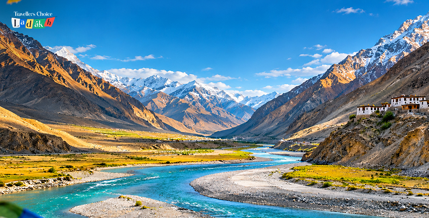
Rangdum Travel Guide: Where Suru Valley Meets Zanskar
Think you have seen all of high-altitude India? If you haven’t driven past the jagged peaks of Nun and Kun into the wild amphitheater of Rangdum, think again.
Perched midway between Kargil and Padum at 3,657 meters, Rangdum is where the green pastures of Suru Valley, Ladakh, give way to the rugged glaciated frontier of Zanskar Valley. It is isolated, raw, and completely free of tourist herds.
Here is your essential guide to navigating this spectacular mountain crossroads:
1. The Landscape: Where Alpine Meadows Meet Glacial Dust
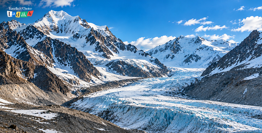
Rangdum isn’t a bustling town. It is a windswept plateau framed by colorful volcanic hills on one side and rocky snow-capped peaks on the other.
Rangdum sits at an incredible geographical transition point in the Suru Valley, Ladakh, as the highest inhabited outpost. Below it are dense potato fields and poplars; above it, hard mountain tundra. The air is thin, the wind is always there, and the scenery is movie-set worthy.
Driving through Suru Valley, Ladakh, to reach this point gives travelers front-row views of the twin Nun and Kun mountain peaks towering at over 7,000 meters.
2. The Fortress on the Sugarloaf Hillock
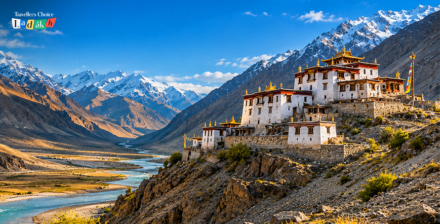
Standing isolated on a central hillock surrounded by a braided riverbed, Rangdum Monastery dominates the valley floor.
This is a medieval fortress guarding the frontier – the Gelugpa monastery was founded in the 18th century by Gelek Yashy Takpa during the reign of King Tsewang Namgyal II. About 30 monks live here and continue centuries-old Tibetan Buddhist traditions despite harsh high-elevation weather.
Stepping into its silent central courtyard offers sweeping panoramic views of the surrounding valley floor.
3. High Mountain Passes to Zanskar
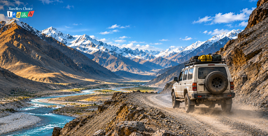
Drive 25 kilometers past Rangdum, and you hit Pensi La Pass at 4,400 meters, the official mountain gateway connecting Suru to Zanskar Valley.
At the summit of the pass, the landscape opens up to reveal the massive Drang-Drung Glacier. Stretching over 23 kilometers like a giant river of ice and snow, it is one of the largest glaciers in the Himalayas accessible directly by road.
Standing at the mountain pass with the icy breeze on your face is an unforgettable Trans-Himalayan milestone.
4. Driving the NH301 Highway Axis
The NH301 was a rough, dusty road with numerous river crossings, and it used to take 10-12 hours to drive from Kargil to Zanskar. The NH301 was rough, with many dirt tracks and river crossings, and it used to take 10-12 hours to drive from Kargil to Zanskar.
While major double-laning and tarmac paving projects are transforming the highway, the stretch around Rangdum still requires proper mountain prep:
- Distance Breakdown: Rangdum sits about 130 km southeast of Kargil and 104 km northwest of Padum.
- Fuel Planning: Gas stations past Sankoo are non-existent. Fill your tank in Kargil town before heading up the valley.
- Pacing Your Journey: Break up the drive by stopping at Parkachik Glacier, then spend the night in Rangdum homestays.
5. Planning a Winter Expedition
Summer (June-Sep) is when you enjoy open roads and green pastures, while extreme adventurers visit in the shoulder seasons and winter.
On a winter expedition to Ladakh in Suru Valley, you find frozen riverbeds, snowdrifts in hamlets, and total silence. Below -20 °C, however, things get serious – you’ll need some good cold-weather equipment, some heavy thermals, and some local experience.
Visiting during winter requires absolute respect for high-mountain weather shifts.
6. How to Experience Rangdum with TCL
Traversing unpaved mountain passes and remote river valleys demands a battle-tested 4×4 and a driver who knows every gravel wash.
To explore this frontier circuit smoothly and customize your route, book a high-clearance SUV through Traveller Choice Ladakh (TCL) via our Ladakh car rental service. Exploring Suru Valley, Ladakh with local experts ensures a safe, comfortable high-altitude adventure.
The Verdict
Bracing mountain winds, 18th-century monastery fortresses, and giant glaciers. Rangdum is the ultimate bridge between Suru’s green valleys and Zanskar’s wild heart.
Load up your gear, hit the highway, and experience the high desert at its rawest.
The frontier pass is calling.
Frequently Asked Questions
Rangdum is located in the upper Suru Valley of Ladakh at an altitude of 3,657 meters (11,998 feet), situated roughly midway between Kargil (130 km) and Padum (104 km).
Rangdum Monastery is an 18th-century Gelugpa (Yellow Hat) Tibetan Buddhist monastery built by Gelek Yashy Takpa during the reign of King Tsewang Namgyal II. It is located on a hillock in the center of the valley.
Pensi La Pass (4,400 meters) is located about 25 kilometers past Rangdum towards Zanskar, offering spectacular views of the 23-kilometer-long Drang-Drung Glacier.
Yes. Gravel patches, water crossings, and unpaved mountain passes mean high clearance is recommended for SUVs or 4x4s on sections of the NH301 highway that are being upgraded and paved.